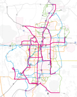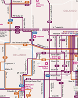
Map Gallery
Our Map Gallery page is a collection of static and interactive maps created by LYNX GIS and agency partners. They communicate the value of LYNX' transit services to various political bodies, including senators, congressman, and local officials. LYNX GIS creates a wide variety of maps for internal and external use. Feel free to browse and see if any of these maps can be useful for you.